On the canyon edge
Viewpoints and sunsets
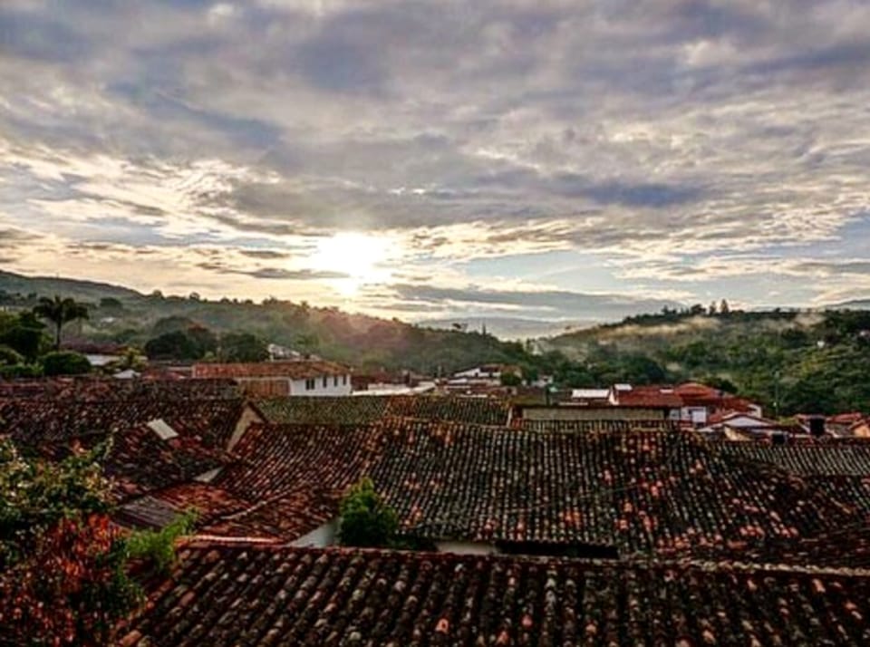
Barichara looks out over the Río Suárez canyon. Late in the day the sky turns red, orange or pink.
At a glance
- Type
- Short walk to viewpoints
- Duration
- 45 minutes to 1.5 hoursArrive a little before sunset and head back with daylight or a torch.
- Effort
- Easy
- Terrain
- Cobbled streets and exposed cliff edges.
- Best time
- Sunset
- From Tinto
- Viewpoint by the cemetery about 650 m away (≈ 9 min); Salto del Mico ≈ 1 km (≈ 14 min). Approximate OpenStreetMap estimate.
The town viewpoint
Near the stone cemetery and the Capilla de Jesús, a viewpoint looks over the Río Suárez valley, the river winding through yellow and green land below.
It’s the classic spot to watch the sunset without leaving town.
Salto del Mico
About 1 km from the main square, heading towards Guane via the Bagarí neighbourhood, is the Salto del Mico — not a waterfall but a cliff with a drop of more than 300 metres.
You’ll see the Río Suárez, farms on the slopes and, opposite, the Serranía de los Yariguíes. People come at sunrise and sunset.
And from home
Tinto’s terrace also looks out over the town’s rooftops — a nice spot to end the day without walking any further.
Planning note Save it for late afternoon — the natural close to the day.
Getting there and back
- Both viewpoints are walkable from the hostel.
Safety
- At Salto del Mico, signs warn of falls and loose rock — keep well back from the edge.
- No edge selfies, please.
- Walking back after dark, use a light on the uneven stone.
An independent activity
Fancy it?
This is an independent activity — Tinto doesn't run or sell it, but we're happy to share tips at the hostel.
Message us and we’ll tell you what we know — or add it to your day and we’ll help you sort it out.
Sources
Where the facts on this page come from. If something has changed, let us know.
- Colombia Travel — Barichara: aventura e historia · checked 29 Oct 2026
- Colombia Travel — Visita el mirador de Barichara · checked 29 Oct 2026
- Saberes Patiamarillos — Salto del Mico · checked 29 Oct 2026
- Saberes Patiamarillos — Paisaje cultural · checked 29 Oct 2026
- OpenStreetMap (Nominatim/Overpass) + OSRM foot routing, computed · checked 29 Oct 2026